5*S (Space, Surveyor, and Students – STEM and the Sustainable Development Goals)
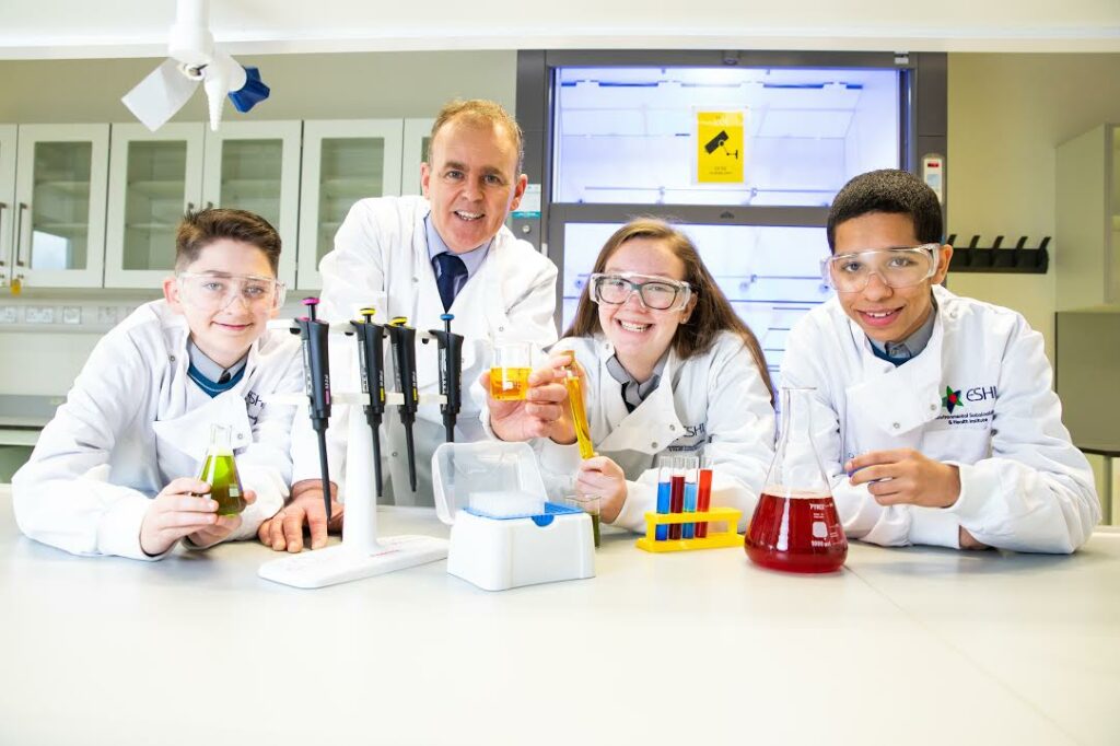
5*S (Space, Surveyor, and Students – STEM and the Sustainable Development Goals) is an SFI/ESERO funded multi-partner collaboration introducing junior cert science students to Copernicus data, GIS, and the UN SDGs.
Leveraging the existing Esri ArcGIS for Schools Platform and the Society of Chartered Surveyors Ireland member base, 5*S are training chartered surveyors as GeoMentors to visit their local schools and showcase this technology. Their partnership with Ordnance Survey Ireland gives access to a wide range of GIS data that can be used to help interpret Irish progress towards meeting the UN SDGs.
There will be a workshop in August to introduce the programme and demonstrate how content aligns with the JC curriculum with a view to starting classroom visits (remote or otherwise) in September 2020.
 Loading...


